PARKS & WATERWAYS

Abingdon Park
7023 Powhatan Drive, Hayes Va 23072
Centrally located in Hayes, Abingdon Park boasts numerous athletics fields and serves as host to many evenings and weekends of games, practices, and get-togethers. Ample parking and professionally manicured fields make this park a great asset in supporting Gloucester County’s many youth sport offerings.
Park Amenities
ADA Accessible
Athletic Fields (soccer/lacrosse and softball)
Bathrooms (open seasonally)
Picnic Shelter (available for reservation seasonally)
May 1 to September 30: $25
October 1 to April 30: Available on first-come first-served basis (bathrooms closed)
Not available weekdays during the school year
Ark Park
7963 Number Nine Road, Gloucester VA 23061
Ark Park serves as a welcoming space for many residents in the northern portion of Gloucester County. Complete with a playground and several athletic fields, the park hosts many of the County’s sporting events. Picnic areas make Ark Park a pleasant place to relax and enjoy a meal with family and friends.
Park Amenities
ADA Accessible
Athletic Fields (soccer, field hockey and softball)
Basketball Court/Pickleball Court
Bathrooms (open seasonally)
Picnic Areas
Playground
Basketball & Pickleball Joint Court Schedule
Designated times have been set for each sport to take priority. If no one is utilizing the court either sport can be played.
OPEN - 1PM - Pickleball
1PM - CLOSE - Basketball
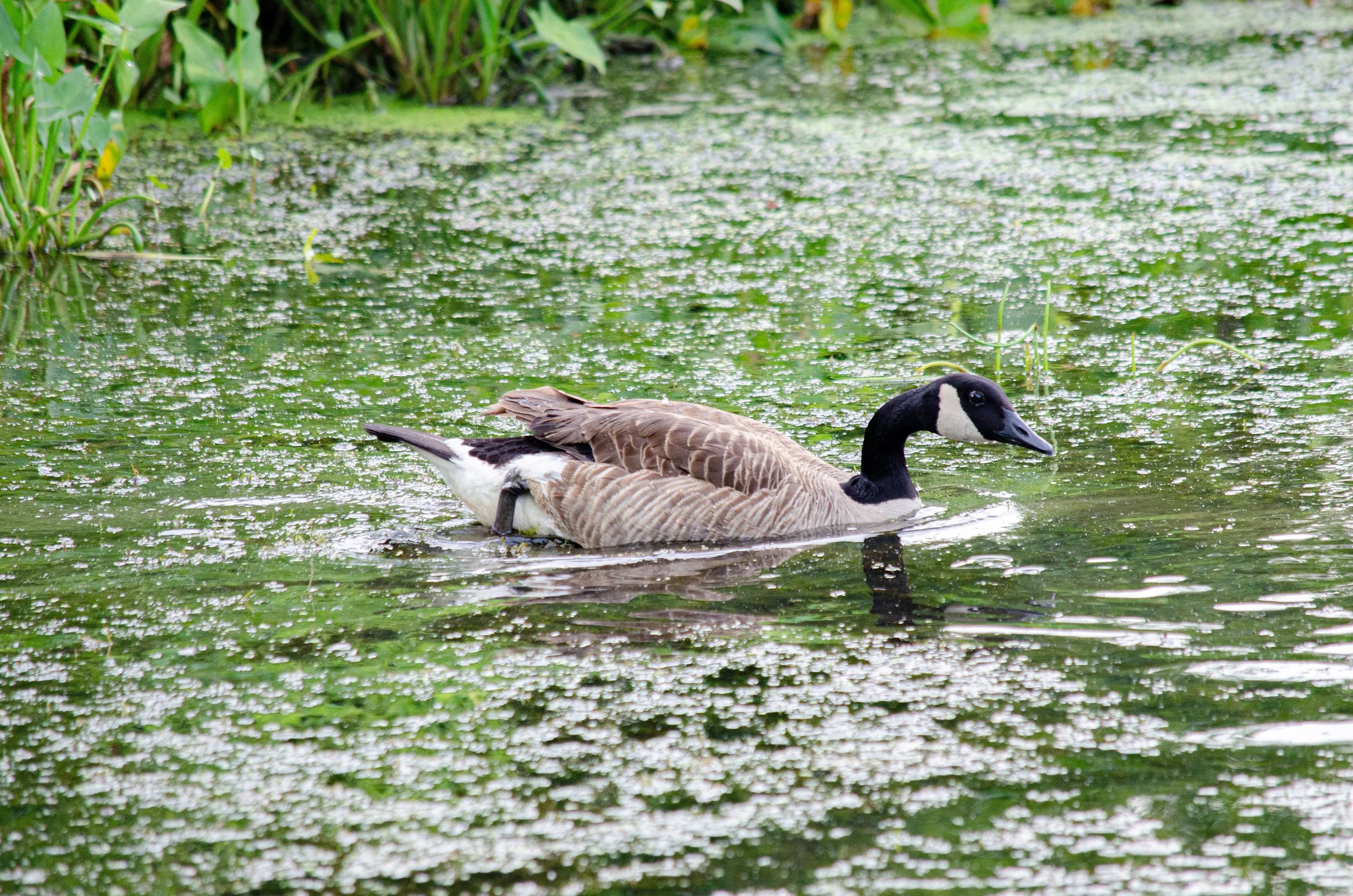
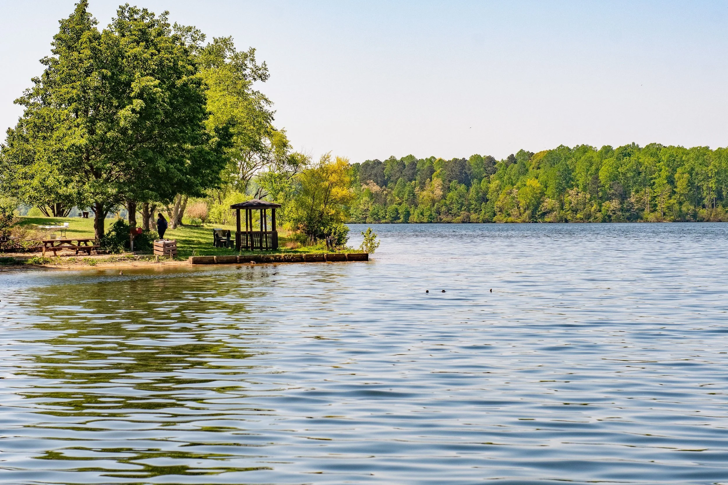
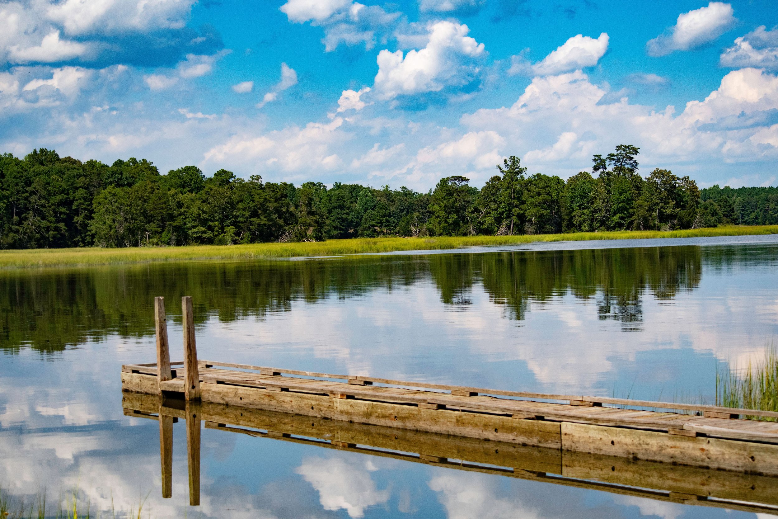
Beaverdam Park
8687 Roaring Springs Road, Gloucester VA 23061 ( Main Entrance)
9537 Fary’s Mill Road, Gloucester VA 23061 ( Route 606 Entrance)
Beaverdam Park is open daily except for Thanksgiving Day & Christmas Day. The Main Entrance has a staffed Ranger Station where visitors can purchase boat launch passes, snacks, bait and rent equipment. Check out the Welcome Guide (PDF) to get current park operating hours.
Trails
Beaverdam Park has dedicated hiking trails as well as multi-use trails for biking, hiking and horseback riding. There is no entrance fee to use the trails. Trail log sign in/out required.
Click here for our Trail Map (PDF)
Canoe Jam
Equipment Rental/ Launch Fees
Due to parking lot construction, equipment rentals are NOT available at this time. Please contact the Ranger Station at 804-693-2107 for more information.
Canoes & Tandem Kayaks $8/hour $20/day
Single Kayak $5/hour $20/day
Pedalboat $5/half hour $8/hour
Jon Boat ( boat only) $8/hour $20/day
Jon Boat w/ motor & battery $15/hour $40/day
***Personal flotation devices and paddles provided with all rental equipment.
Annual Boat Launch $60
Annual Boat Launch fee is required to launch from the Fary’s Mill entrance.
Annual Canoe/Kayak Launch $30
Daily Boat Launch $6
Daily Canoe/ Kayak Launch $3
Rental Facilities
Picnic Areas, Shelters and Whitcomb Lodge can be reserved online.
Picnic Shelters- $30/half day; $50/full day
Smith Shelter - Main Entrance (8687 Roaring Springs Road)
Beaverdam Shelter - 606 Entrance (9537 Fary's Mill Road)
Picnic tables, grills, playground, restrooms and electricity available
Whitcomb Lodge - $125/full day; $85/half day
Main Entrance (8687 Roaring Springs Road)
Indoor Capacity 75
Catering Kitchen (refrigerator, sink, microwave), Restrooms & Outdoor Grill
Alcohol is not permitted on County property. Business transactions, fundraising, soliciting and for-profit activities are prohibited.
Park Amenities
Boating Access
Fishing Pier
Picnic Areas
Playgrounds
Rental Facilities (Picnic Shelters & Whitcomb Lodge)
Trails
Brochures & Maps
Park Hours
Park gates close 30 minutes prior to posted closing times.
Jan 7:30AM-5:30PM
Feb 7:30AM-6:00PM
Mar 7:00AM-6:30PM
April 6:30AM-8:00PM
May-Labor Day 6:00AM-8:30PM
September 7:00AM-7:30PM
October 7:00AM-6:30PM
November 7:00AM-6:30PM
December 7:30AM-5:00PM
Brown Park
Park Hours
Park gates close 30 minutes prior to posted closing times.
Jan 7:30AM-5:30PM
Feb 7:30AM-6:00PM
Mar 7:00AM-6:30PM
April 6:30AM-8:00PM
May-Labor Day 6:00AM-8:30PM
September 7:00AM-7:30PM
October 7:00AM-6:30PM
November 7:00AM-6:30PM
December 7:30AM-5:00PM
7461 Foster Road, Gloucester VA 23061
Park Amenities
ADA Accessible
Green Space
Picnic Tables
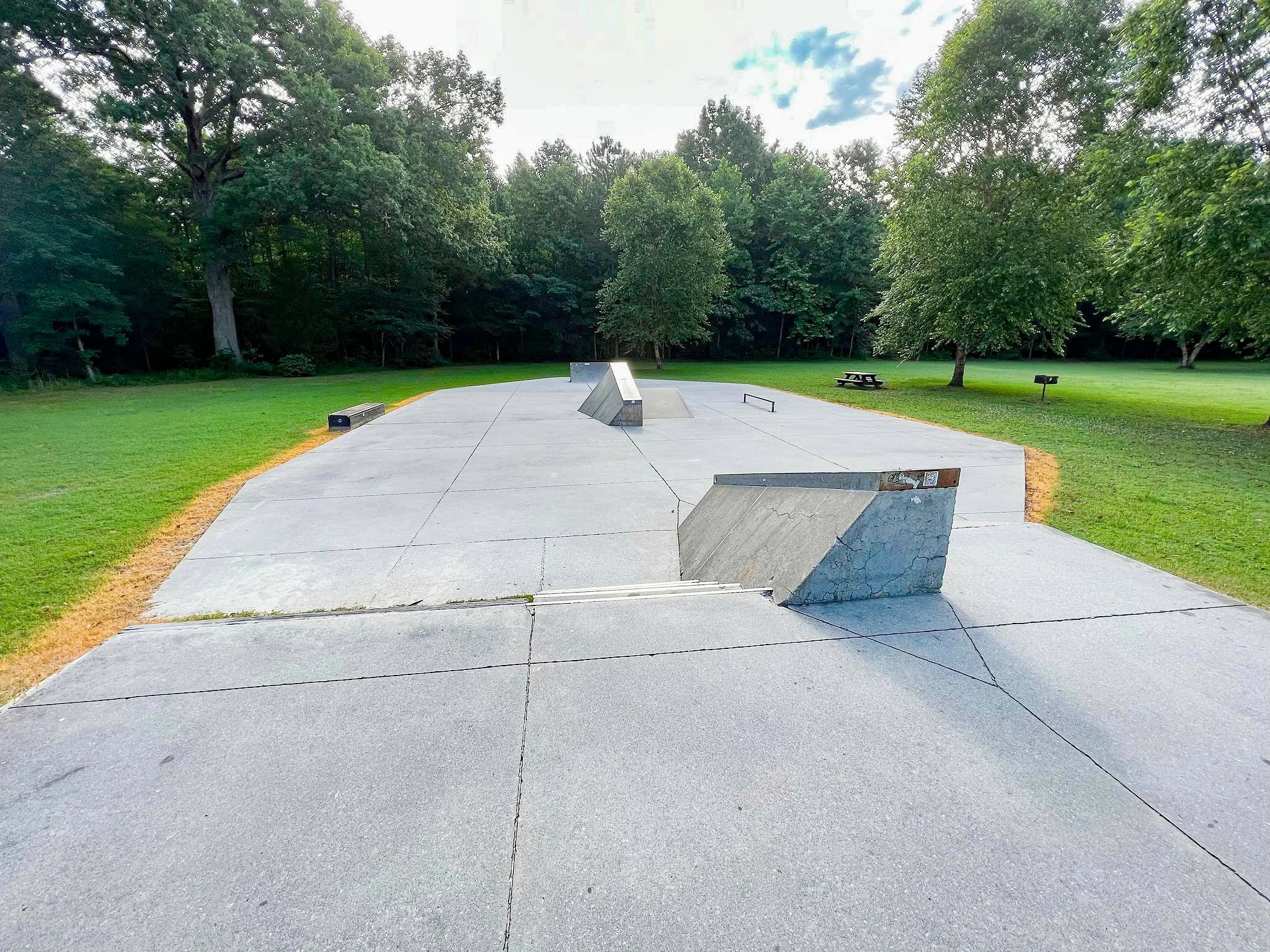
Skatepark
Park Info & Rules
Please help us make Brown Park an enjoyable place for all. Be courteous of others utilizing the skating elements and park property.
Skate at your own risk. Helmets and safety pads are strongly recommended.
Food is not permitted on skating areas.
One person per ramp at a time. Take turns and leave space between riders.
Bicycle pegs are not permitted.
Children under 13 must have adult supervision.
Outside obstacles and modifications to the elements are strictly prohibited. All items will be permanently removed by Park Staff.
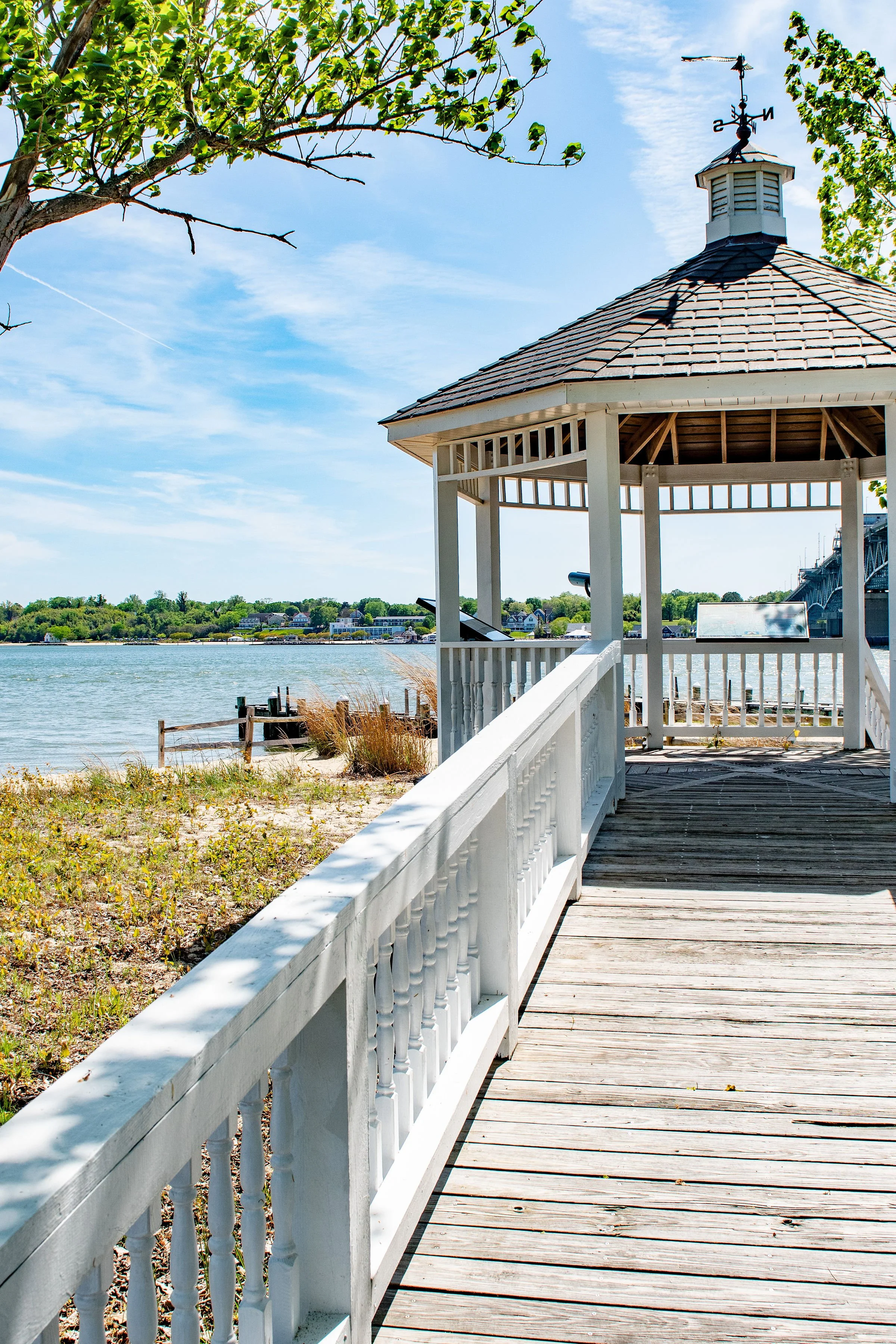
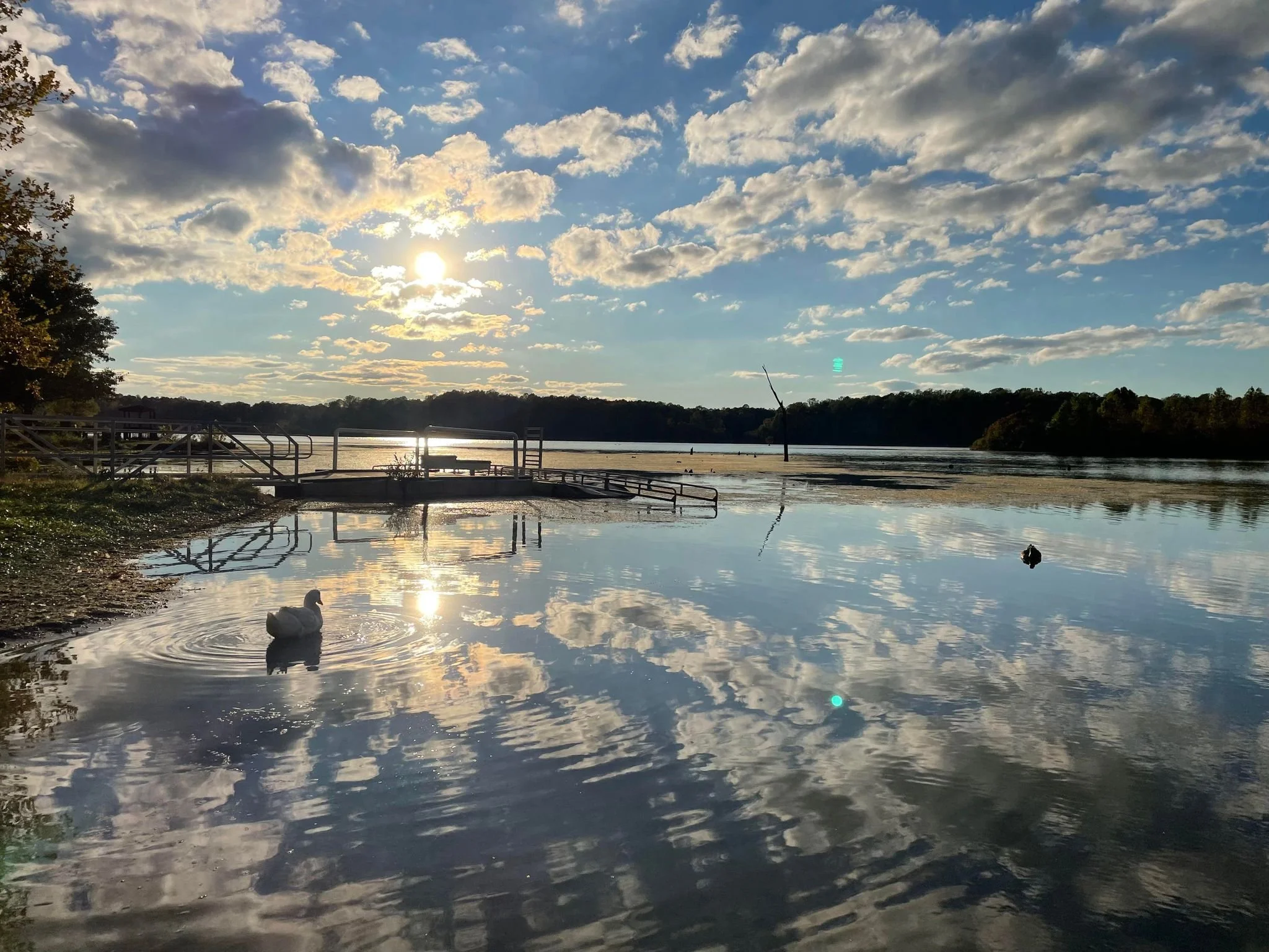
Gloucester Point Beach Park
1255 Greate Road, Gloucester Point VA 23062
Park Amenities
ADA Accessible
Bathrooms
Boat Ramps
Fishing Pier
Gazebo
Grill
Picnic Shelter (reservations seasonally)
Picnic Tables
Showers (open seasonally)
Volleyball (summer only)
Fishing
A public fishing license is sponsored for the pier, but registration with the Virginia Fisherman ID Program is required. Register by calling (800) 723-2728 or register for a public fishing license online.
The fishing pier is open 24 hours/day. Fishing is permitted overnight but the park is closed from sunset to sunrise. When the park is closed due to damage or inclement weather, fishing is not permitted.
The Point Walk
A self-guided interpretive walk along the York River
View The Point Walk brochure (PDF)
Park Info
Swimming is permitted in designated areas only. The current is strong on the York River - please be safe and heed the signs.
Lifeguards are not present.
Open fires are not permitted.
Boat trailer parking lot is not available for general parking - boat trailer parking only.
Children under 13 must have adult supervision.
Metal detectors may only be used on the beach. Gloucester County shall retain ownership of items having a value over $1,000, artifacts older than 50 years, and human or animal remains over 100 years old. Contact Gloucester Parks, Recreation & Tourism at (804) 693-2355 or prt@gloucesterva.info to relinquish an item or if assistance is needed.
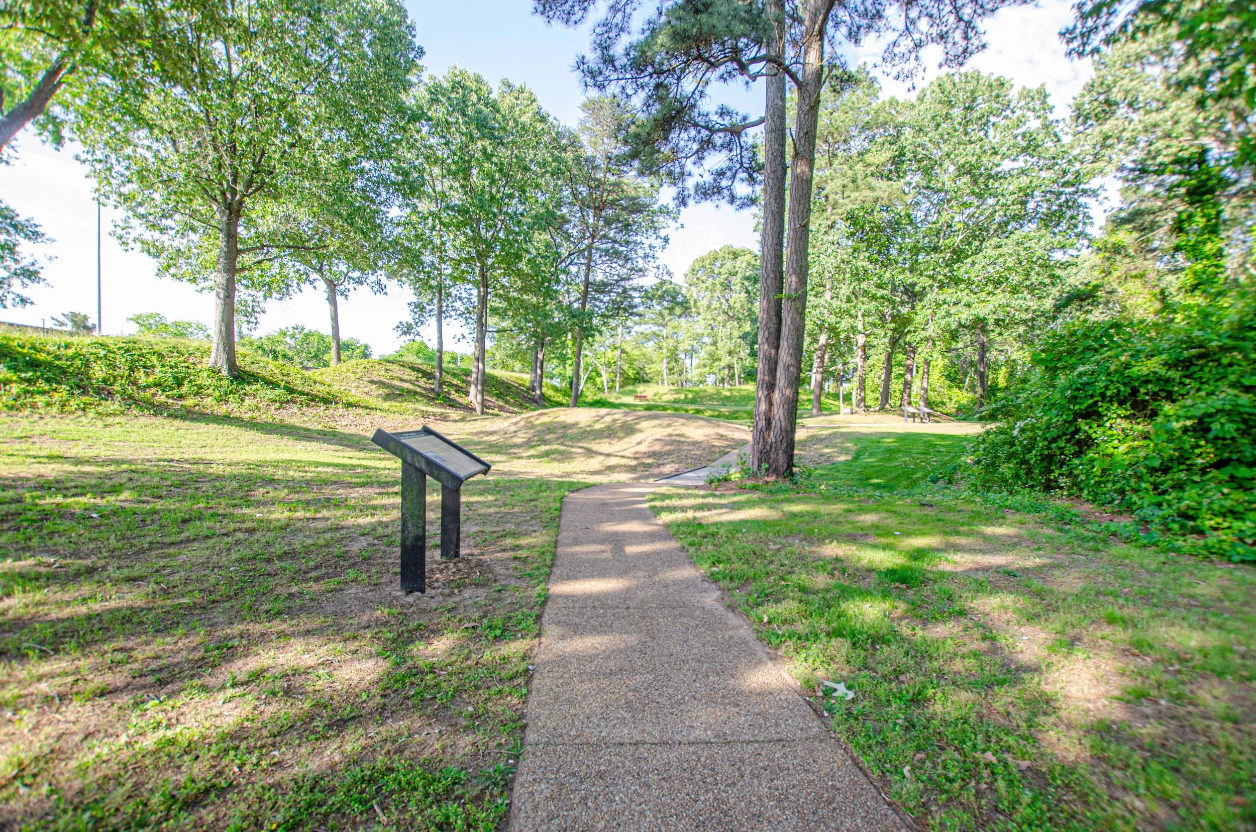
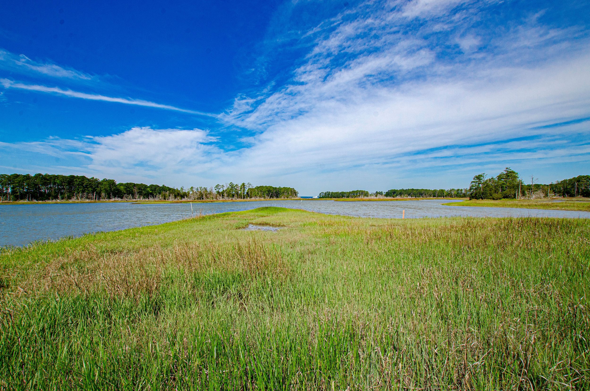
Tyndall's Point Park
1376 Vernon Street, Gloucester Point, VA 23062
In 1608, a mariner named Robert Tyndall came to Virginia with Captain Christopher Newport in the first party of English settlers. They sailed the York River on a voyage of exploration. Tyndall drew a chart of the James and York Rivers, constricting it to its narrowest dimension. Captain John Smith, who mapped Virginia in 1610, perpetuated the name Tyndall's Point, but it was not until the time of the American Revolution that the area became commonly knowledge as Gloucester Point.
To learn more about this area make sure to stop along the path at the informational kiosks.
Credit: VA Research Center for Archaeology, Williamsburg; Historian Martha McCartney
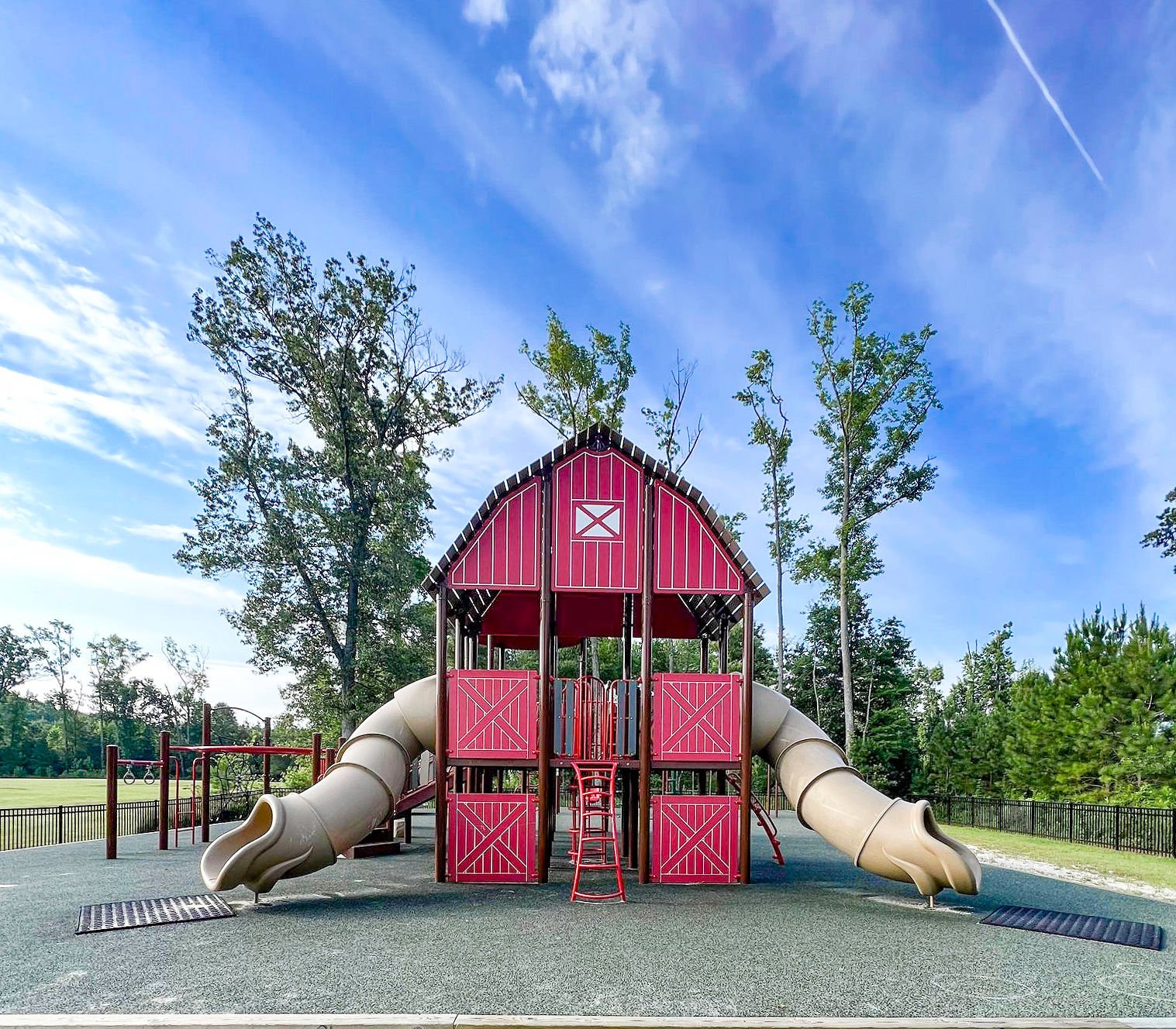
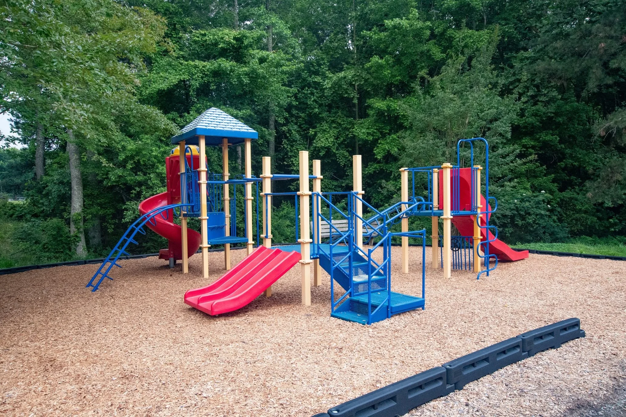
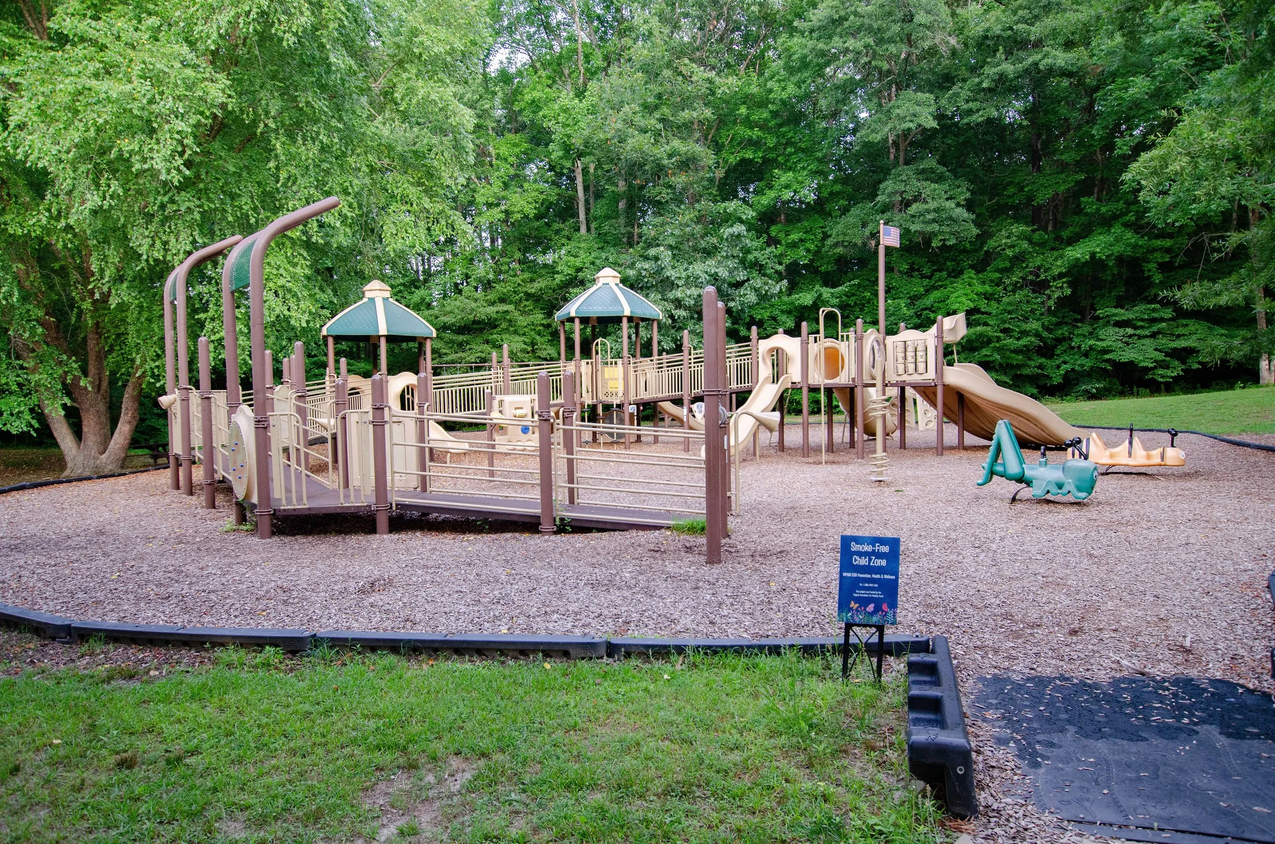
Woodville Park
3904 Woodville Park Road, Gloucester VA 23072
Woodville Park is both a serene space to unwind and enjoy nature and an exciting space playing host to numerous community activities. The park is also home to one of the finest playgrounds in the Gloucester County park system. Woodville Park has it all and its waiting for you to come and enjoy!
Park Amenities
ADA Accessible
Athletic Fields (soccer, football, sand court)
Gardens
Playground
Walking Trails
Park Hours
Park gates close 30 minutes prior to posted closing times.
Jan 7:30AM-5:30PM
Feb 7:30AM-6:00PM
Mar 7:00AM-6:30PM
April 6:30AM-8:00PM
May-Labor Day 6:00AM-8:30PM
September 7:00AM-7:30PM
October 7:00AM-6:30PM
November 7:00AM-6:30PM
December 7:30AM-5:00PM
Boat Landings
Effective January 1, 2021 a permit is required at boating access points owned or managed by the Virginia Department of Wildlife Resources. A list of access points requiring a permit can be found on the Virginia Department of Wildlife Resources website. More information can be found on the Virginia Department of Wildlife Resources FAQ page.
For maintenance issues on landings, contact:
Game and Inland Fisheries Landings
Phone: 804-829-6580Gloucester County Landings
Phone: 804-693-2355
Email Gloucester County LandingsVirginia Department of Transportation (VDOT) Landings
Phone: 804-758-2321
Brays Point Landing
Car top boats only, no trailer access
Location: End of Brays Point Road
Maintained by VDOT
Severn River Access
Cappahosic Landing
Bank fishing
Landing maintained by VDOT
Limited parking
Location: End of Cappahosic Road
Park area maintained by Gloucester County
Picnicking
Restrooms - May through October
York River Access
Deep Point Landing
Bank fishing
Location: End of Deep Point Lane
Maintained by Game and Inland Fisheries
Parking
Piankatank River Access
Picnicking
Gloucester Point Beach Park
2 Landings
Fishing Pier
One ramp maintained by Gloucester County
One ramp maintained by the Department of Game and Inland Fisheries
Location: End of Greate Road, next to Coleman Bridge
Outdoor Showers - seasonal
Park maintained by Gloucester County
Parking
Picnicking
Playground
Restrooms
Sandy beach
Swimming
York River Access
John's Point Landing
Fishing
Location: End of John's Point Road
Maintained by VDOT & Gloucester County
Parking
Small boat landing and canoe / kayak launch
Miller's Landing
Car top boats only, no trailer access
Location: End of Miller's Landing Road
Maintained by VDOT
Limited Parking
Poropotank River Access
Olivers Landing
Cedar Bush Creek Access
Location: End of Cedar Bush Road
Maintained by Gloucester County
VERY limited Parking
York River Access
Payne's Landing
Car top boats only, no trailer access
Location: End of Paynes Landing Road
Maintained by Gloucester County
Ware River Access
Tanyard Landing
Location: End of Tanyard Landing Road
Maintained by Game and Inland Fisheries
Parking
Poropotank River Access - west to the York River
Warehouse Landing
Bank fishing
Location: End of Ware House Road
Maintained by Game and Inland Fisheries
Parking
Ware River Access - river flows to Mobjack Bay
Williams Landing
Location: End of Crewe Road
Timberneck Creek to York River
Wharf, mainly used by commercial fisherman
Dirt Ramp
Provided by Virginia Institute of Marine Science